Subpages
Related Pages
Links
Files
Photo Albums


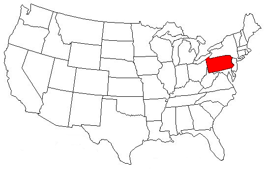
We are in the South Eastern Region of Pennsylvania, USA,


Our 1765 Rotarians are in 45 clubs that  spread across 5 Counties , Bucks, Berks, Montgomery, Lehigh & Northampton .........
 
Our district starts just above Philadelphia near Springfield Flourtown  and goes North about 80 miles to Slatington & Nazareth  taking in the Bethlehem and Allentown Area's and is about 100 miles across from Reading in the West to Morrisville Yardley in the East just near the state line with New Jersey.
 
Our District contains a mixture of urban and agricultural areas which creates a diversity of life styles and vocations. It is in the middle of the extensive metro region between Washington DC and Boston, MA. Most of our clubs are around an average of 100 miles/160 kilometers from New York City, 200 miles/320 kilometers from Washington DC and around 320 miles/500 kilometers from Boston MA.


History of Southeast Pennsylvania


The region is comprised of 10 counties: Berks, Bucks, Chester, Delaware, Lancaster, Lebanon, Lehigh, Montgomery, Northampton, and Philadelphia.


Southeast PA Region Map 


The three original counties, created by William Penn in 1682, include PhiladelphiaBucks, and Chester. Some 50 years later the next county - Lancaster - was carved out of Chester County in 1728. Berks County was formed from Chester, Lancaster, and Philadelphia counties in 1752 and the same year Northampton County was created from Bucks County.


In 1784 Montgomery County was carved from Philadelphia, and in 1789 Delaware County was formed from Chester.Lehigh County was created from part of Northampton County in 1812, followed by Lebanon County in 1813, which was created from Dauphin and Lancaster counties.


When searching for records during these time periods it is good to keep in mind these changing county formation dates. The farms didn't move; the boundaries around them did!